Omschrijving
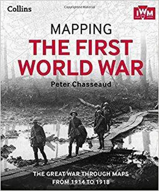
Follow the conflict of the World War 1 from 1914-1918 through a unique collection of historical maps, expert commentary and photographs. Published in association and including mapping from the archives of the Imperial War Museums. Ebook best viewed on a tablet. Over 100 maps demonstrating how the Great War was fought around the world. Types of maps featured: • Small scale maps showing country boundaries and occupied territories • Large-scale maps covering the key battles and offensives on all fronts of the war • Trench maps showing detailed positions of the front line • Maps from newspapers, battle planning and propaganda Key offensives covered include: • The Battles of the Marne and Ypres • Tannenberg and the Eastern Front • Verdun and the Somme • The Gallipoli Campaign • Battle of Jutlan
Kenmerken
| Artikelnummer | 9200000015442431 |
|---|---|
| EAN | 9780007525805 |
| Categorie | Digital Reading |
| Productgroep | Boeken |
| Segment | Textual/Printed/Reference Materials |
| Prijs Nederland | € 32,99 |
| Prijs België | € 32,99 |
| Verzendkosten NL | Gratis |
| Verzendkosten BE | Gratis |
| Levertijd Nederland | Morgen in huis |
| Levertijd België | Morgen in huis |
| Verkoper | Partner |
Mapping the First World War: The Great War through maps from 1914-1918 bestellen bij snelkeus
Koop Mapping the First World War: The Great War through maps from 1914-1918 van Onbekend online in de categorie Digital Reading. Prijs € 32,99, levering in Nederland · Morgen in huis.